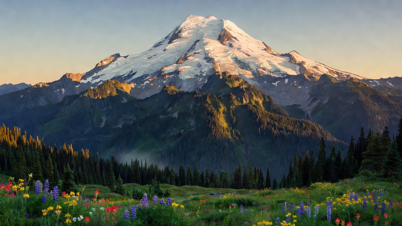
Mt. Baker-Snoqualmie National Forest
Where the camps cluster
The place
Mt. Baker-Snoqualmie National Forest runs like a green-and-white spine down the western flank of the Washington Cascades, extending more than 140 miles from the Canadian border south to the edge of Mount Rainier National Park. It is, by the Forest Service's own reckoning, the most visited national forest in the country -- and geography explains why. Nearly five million people live within reach in the Puget Sound lowlands, with the whole of metropolitan Seattle, Everett and Bellingham parked at its doorstep and much of it less than an hour from a trailhead.
Yet for all that traffic, the forest is genuinely wild the moment you climb into it. Two ice-clad volcanoes, Mount Baker and Glacier Peak, tower thousands of feet above the surrounding ridges; between them lie deep river valleys, hanging glaciers, alpine meadows and hundreds of high mountain lakes tucked among rocky pinnacles. The Skykomish district alone counts more than 150 of those lakes. It is dramatic, steep, snow-hammered country -- and about half of it is protected as wilderness.
History
The forest carries two names because it began as two forests. The Snoqualmie National Forest was established on July 1, 1908, and the Mount Baker National Forest followed on January 21, 1924. In 1974 the two were administratively combined into the single unit managed today. Its supervisor's office sits in Everett, Washington, and the ground is administered through four ranger districts -- Darrington, Mt. Baker, Skykomish and Snoqualmie -- spread across Snohomish, Whatcom, Skagit, King, Pierce and Kittitas counties. The Pacific Crest National Scenic Trail threads the length of the high country on its way between Oregon and Canada.
Wildlife & plants
The forest's best-known wildlife spectacle happens in winter along the Skagit River, whose salmon runs draw one of the largest winter concentrations of bald eagles in the United States -- hundreds of them roosting and fishing the river bars when the fish come home to spawn. Away from the water the old-growth valleys and subalpine slopes hold black bears, mountain goats picking across the crags, black-tailed deer, and the elusive predators of the North Cascades. The mix of dense lowland conifer forest, avalanche chutes, meadow and rock over such a huge range of elevation gives the forest an unusually broad spread of habitat, from valley-bottom rainforest to bare volcanic ice.
Notable features
The two volcanoes are the forest's signature. Mount Baker rises to 10,786 feet -- the third-highest peak in Washington and one of the most heavily glaciated volcanoes in the Cascades, wrapped in eleven named glaciers, with its last eruption recorded in 1880. Its ski area, on the mountain's lower flanks, holds the world record for snowfall in a single season: 1,140 inches -- roughly 95 feet -- in the winter that ended in 1999. To the south stands Glacier Peak, 10,525 feet and the most isolated volcano in the entire Cascade chain, so buried in wilderness that most Washingtonians have never glimpsed it; it is also one of the most explosive, having erupted five times in the past 3,000 years. Around them the forest protects ten major wilderness areas -- among them Glacier Peak, Mount Baker, Alpine Lakes, Wild Sky, Henry M. Jackson and Boulder River -- that together make up nearly half of its area.
Camps are sourced from public U.S. Forest Service recreation data and have not been personally visited. Roads shown are Forest Service passenger-car routes (maintenance level 3–5) and may be seasonal or gated. Always confirm access, fees and fire rules with the ranger district before you go. Found a fee where we show free? Tell us on the contact page.