Nebraska National Forest
Where the camps cluster
The place
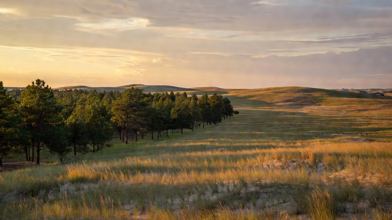
The Bessey Ranger District sits in the Sandhills of central Nebraska, near the small town of Halsey, and the landscape does most of the explaining: grass-stabilized sand dunes rolling to the horizon, the Middle Loup and Dismal rivers cutting through, and then -- abruptly, unmistakably -- a dark block of conifers that has no business being there. It was put there on purpose. The Pine Ridge Ranger District, three hundred-odd miles northwest near Chadron, is the opposite story: forested ridges, river valleys, badlands formations, and mixed-grass prairie, with native ponderosa pine growing on the ridges and cliffs that give the region its name. The Pine Ridge is an escarpment between the Niobrara and White rivers, eroded into buttes and canyons, and its plants and animals are atypical for Nebraska -- the ecology runs much closer to the Black Hills, about fifty miles north, than to the plains around it. Both districts are run out of the Nebraska National Forests and Grasslands supervisor's office in Chadron, which also administers the Samuel R. McKelvie National Forest and the Buffalo Gap, Fort Pierre, and Oglala national grasslands -- an arc of public land reaching from central Nebraska west to the Panhandle and up into southwestern South Dakota. That umbrella is why this listing carries two states and a very large acreage: the forest proper is a much smaller share of it.
History
This forest began in 1902 as an argument that lost and then won. Charles E. Bessey, a botany professor at the University of Nebraska, believed trees had once grown in the Sandhills and could grow there again; with the help of Gifford Pinchot, the first Chief of the Forest Service, he convinced President Theodore Roosevelt to set aside two treeless tracts of Nebraska sandhills as 'forest reserves.' The point was not scenery. The country was worried about a coming timber shortage -- from big fires, unregulated cutting, and a growing appetite for wood -- and the plan was to grow a national timber reserve on ground nobody else wanted. Nebraska National Forest was formally established on November 15, 1907, by consolidating three smaller forests: Dismal River, Niobrara, and North Platte. The Niobrara district later became the Samuel R. McKelvie National Forest. The native ponderosa pine of the Pine Ridge, along with the national grasslands, was added to the National Forest System in the 1950s. The Pine Ridge country carries harder history too: it was the setting for the closing chapters of the Indian Wars, home to several bands of Lakota, and Crazy Horse was killed at nearby Fort Robinson in 1877. The Soldier Creek country was originally set aside as a timber reservation for that fort, and the Cavalry used its bottomland for horse pasture into the World War II era. Fire has rewritten both halves of the forest in living memory -- a 1989 wildfire took nearly 90 percent of the ponderosa pine in the Soldier Creek Wilderness, and in October 2022 the Bovee Fire burned through the planted Sandhills forest at Halsey.
Wildlife & plants
The Pine Ridge district is the wildlife headliner and the reason biologists find this corner of Nebraska interesting: it is one of only two regions in the state that support bighorn sheep, and elk, mule deer, wild turkeys, and even river otters are common there. Ponderosa pine dominates the ridges, with cottonwoods and other deciduous trees down in the canyon bottoms. The Bessey district is a stranger and more artificial story. Planting a block of conifers in the middle of a grassland handed a whole set of forest species a place to live where they had none before, and birds such as the red-breasted nuthatch and the pine siskin colonized the man-made woods. The surrounding prairie keeps its own residents: the Forest Service sets out viewing blinds in spring so visitors can watch prairie grouse perform their mating dances on the open ground. It is worth understanding what that combination actually means -- in the Sandhills you are watching a grassland ecosystem with a forest inserted into it, not a forest with some grass around the edges.
Notable features
At Halsey, the Bessey Recreation Complex is the hub: a campground with and without electric sites, a year-round fish pond with an accessible fishing pier, picnic areas, and both motorized and non-motorized trails. Two more campgrounds serve the district -- Natick, with 17 units and 20 horse corrals, and Whitetail, with 10 sites on the Dismal River and nine corrals. The Charles E. Bessey Tree Nursery, founded the same year as the experiment itself, is still running and is listed on the National Register of Historic Places. The historic Scott Lookout Tower was destroyed in the 2022 Bovee Fire; its site remains closed to entry, though the structure can still be seen from outside while restoration is considered. Up on the Pine Ridge, the 40-mile Pine Ridge Trail is open to hikers, mountain bikers, and horseback riders, reached from trailheads including Spotted Tail, Cliffs, East Ash, Outrider, and Pine Ridge. Camping there is at Red Cloud (13 sites, south of Chadron State Park), Soldier Creek, and the three-site Roberts Tract camping area with horse corrals. The 7,794-acre Soldier Creek Wilderness, designated by Congress in 1986, is the larger of Nebraska's two federal wilderness areas and a longtime favorite for horseback riding, with century-old windmills still turning along its trails. The 6,600-acre Pine Ridge National Recreation Area lies within the district.
Camps are sourced from public U.S. Forest Service recreation data and have not been personally visited. Roads shown are Forest Service passenger-car routes (maintenance level 3–5) and may be seasonal or gated. Always confirm access, fees and fire rules with the ranger district before you go. Found a fee where we show free? Tell us on the contact page.