Ashley National Forest
Where the camps cluster
The place
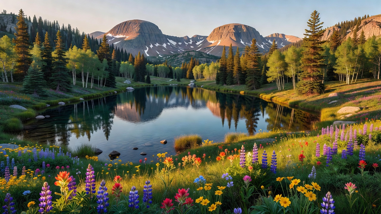
Ashley National Forest covers the eastern end of the Uinta Mountains in northeastern Utah and spills north across the state line into southwestern Wyoming. The Forest Service splits it into three regions -- the north and south slopes of the Uintas, the Wyoming Basin, and the Tavaputs Plateau -- but about 70 percent of it is Uinta Mountains, and that is the range worth knowing about. It is, per the Forest Service, the largest east-west trending mountain range in the lower 48. Almost every other range in the Rockies runs north-south; this one lies across the grain, which is why the drive over it feels different from anywhere else in Utah. Elevations run from about 5,500 feet down on the Green River to 13,528 feet on the summit of Kings Peak, the highest ground in the state.
The forest reaches into five Utah counties -- Daggett, Duchesne, Summit, Uintah and Utah -- plus Sweetwater County, Wyoming, and it is run out of Vernal with district offices in Vernal, Duchesne, Roosevelt, Manila and Green River, Wyoming. Two very different trips share the same forest map. One is high, cold, and on foot: glacier-carved basins full of small lakes, quaking aspen giving way to spruce and fir, over a thousand miles of trail, and a hiking season that really only runs from snowmelt to first snow. The other is warm and on the water: Flaming Gorge Reservoir and the Green River below the dam, red rock, marinas, and boats. The Forest Service describes the sweep as running from 'Wyoming high deserts, where herds of antelope play along the lake shore, to the forested slopes of Utah's Uinta Mountains,' and that is a fair summary of the whiplash. You can be in shortgrass and pronghorn country in the morning and standing in snowmelt above timberline the same afternoon.
History
The forest is named for William Henry Ashley (c. 1778-1838), a Missouri fur trader who came through this country in the spring of 1825 and ran the Green River through the gorge. Ashley is a bigger name in western history than the forest suggests: in 1822 he and Andrew Henry advertised for the hundred 'enterprising young men' who became known as Ashley's Hundred, and Ashley is credited with inventing the rendezvous system -- trappers, traders and Indians meeting at a set place once a year to settle up -- which is how the fur trade ran for the next fifteen years. He later served as Missouri's first lieutenant governor and then in Congress. Spanish explorers had passed through the region roughly fifty years before him, with the Dominguez-Escalante expedition of about 1776. President Theodore Roosevelt established the national forest by executive order on July 1, 1908.
The name that stuck to the reservoir came from a different explorer. John Wesley Powell, running the Green in 1869, called the place Flaming Gorge for the red sandstone cliffs that wall the river there. The reservoir behind that name arrived nearly a century later, as part of the Colorado River Storage Project. Reclamation began placing concrete in June 1958 and set the last bucket on November 15, 1962; President Kennedy started the first power generation on September 27, 1963; and Lady Bird Johnson dedicated the finished dam on August 17, 1964. It stands 502 feet above bedrock with a crest 1,285 feet long, and its three generating units total roughly 150 megawatts -- about 500 million kilowatt-hours a year, enough for something like 50,000 households. In 1968 Congress made Flaming Gorge a National Recreation Area and handed it to the Forest Service to run through Ashley, adding roughly 120,000 acres to the forest in the process.
Older, smaller history survives out here too. Southwest of Dutch John, Swett Ranch preserves what one family built alone in this country: Oscar Swett put in a corral in 1905 and started raising buildings in 1909, and the homestead -- about 14 acres of it, with nine contributing buildings -- went on the National Register of Historic Places on July 10, 1979. The basin below the forest is Ute country; the Uintah and Ouray Reservation of the Northern Ute Tribe lies south of the mountains, and the state's name comes from the Ute.
Wildlife & plants
The big-game list runs long because the elevation range is so wide. Elk, moose, mule deer, pronghorn, bighorn sheep and mountain goats all use this forest, along with black bear, cougar and coyote. Above treeline the residents get smaller and stranger -- pikas working the talus, marmots on the rocks, and ptarmigan, which are about as far north as a bird can feel while still being in Utah. Beaver, marten and river otter work the water. Raptors are a constant along the canyon rims.
The vegetation stacks in the usual mountain bands, with quaking aspen the signature tree at middle elevations -- worth timing a trip around, because Uinta aspen in late September is the reason a lot of people drive the byways at all. Below the aspen the country dries out fast into sage and high desert; above it, spruce and fir thin out and quit entirely on the tundra of the range crest.
Fishing is a headline attraction rather than a footnote. The Forest Service points visitors at what it calls the 'Blue Ribbon fisheries of the reservoir and the Green River' -- Blue Ribbon being Utah's own designation, awarded after review by state biologists and an advisory council on fishing quality, outdoor experience, habitat and economic benefit. The reservoir and the cold tailwater below the dam draw anglers from all over the country. Downstream, the dam is also operated with an eye on the endangered native fish of the Green, which is a large part of why release schedules are what they are.
Notable features
Flaming Gorge is the front door. The reservoir runs about 91 miles with roughly 360 miles of shoreline, folded into coves, inlets, peninsulas and small islands, and the recreation area around it covers 207,363 acres split about evenly between Utah and Wyoming. Red Canyon is the view everyone photographs: the Forest Service describes it as 700 feet wide and about 1,400 feet deep, with the Red Canyon Visitor Center perched right on the south rim -- built between 1964 and the summer of 1965 to a design by Ogden architect Thair H. Blackburn. The NRA also takes in Firehole Canyon and the section of the Green River below the dam.
The other half of the forest is the High Uintas Wilderness, of which 276,175 acres sit on Ashley. The wilderness as a whole covers 456,705 acres shared with the Uinta-Wasatch-Cache National Forest and was designated in 1984. This is glacier-sculpted country -- cirques bitten into the ridgelines, hanging basins full of small lakes -- reached on foot or horseback, and the season is short. Kings Peak, 13,528 feet, sits in the middle of it, and the easiest way up is a 29-mile round trip. Utah's high point is not a drive-up.
Between the two, the driving is genuinely good. The Flaming Gorge-Uintas National Scenic Byway crosses the forest between Vernal and Manila, with a spur over the dam to the Wyoming line; its interpretive theme is 'Wildlife Through The Ages,' which tells you how much fossil and geology there is along it. The Indian Canyon Scenic Byway runs from Duchesne on US 191 toward Price through colorful rock, conifer and aspen. The Sheep Creek Geological Loop is the one to make time for -- thirteen miles traced along the Uinta Fault, where the rock layers stand on end like something shoved sideways, rejoining Utah Highway 44 five miles south of Manila. The Red Cloud Loop Scenic Backway, mostly unpaved and picked up about 15 miles north of Vernal, runs sandstone canyons, mixed timber and meadows for anyone who would rather have dirt under the tires.
Camps are sourced from public U.S. Forest Service recreation data and have not been personally visited. Roads shown are Forest Service passenger-car routes (maintenance level 3–5) and may be seasonal or gated. Always confirm access, fees and fire rules with the ranger district before you go. Found a fee where we show free? Tell us on the contact page.