Uinta-Wasatch-Cache National Forest
Where the camps cluster
The place
The Uinta-Wasatch-Cache National Forest sits right on top of northern Utah's population, spilling over nearly 2.9 million acres and reaching from the ranges above the Salt Lake and Cache valleys into southern Idaho and a corner of southwestern Wyoming. Its two signature ranges could hardly be more different. The Wasatch Mountains run north-south and rise like a wall straight out of the Wasatch Front, the string of cities -- Salt Lake City, Ogden, Provo -- where most of Utah lives; from valley floors near 4,330 feet the peaks jump thousands of feet in just a few miles. The Uinta Mountains, by contrast, run the 'wrong' way, east to west, and hold the roof of the state.
That collision of city and summit is the forest's whole character. The Forest Service describes it as the place where 'civilization meets the wild,' and it isn't exaggerating: this is one of the most heavily visited national forests in the country, drawing on the order of nine million visitors a year, with more than 1,700 miles of trail threaded between the trailheads and the high country. The forest is run out of offices scattered across the region -- Logan, Ogden, Kamas, Heber, Pleasant Grove, Spanish Fork, Salt Lake and Evanston, Wyoming -- with headquarters in South Jordan, Utah.
History
The forest's roots reach back to the very start of the national forest system: the Wasatch National Forest was established on August 16, 1906. Over the following century the Wasatch, the Cache and the Uinta forests were managed and reshuffled across northern Utah, and in August 2007 the Wasatch-Cache and the Uinta National Forests were combined into the single Uinta-Wasatch-Cache National Forest that exists today; the headquarters moved from Salt Lake City to South Jordan at the same time. The names themselves tell the country's story -- 'Wasatch' comes from a Ute word for a low place in high mountains, and 'Cache' is the French word meaning to hide, a nod to the fur-trapping era when trappers cached their goods in these valleys.
Wildlife & plants
Because the forest climbs so far so fast, it stacks whole life zones on top of one another. Down low, sagebrush country spreads across the foothills and benches -- habitat for the greater sage grouse -- and gives way, higher up, to the temperate conifer forests that clothe the Wasatch: Douglas fir, Engelmann spruce and shimmering stands of quaking aspen. Higher still, in the Uinta Mountains, the trees finally quit and the land opens into true alpine tundra above the timberline, a treeless world of rock, meadow and water studded with hundreds of small lakes. That vertical spread -- desert shrub at the bottom, alpine basin at the top, all within one forest -- is what makes the country so rich, and it means the wildlife you might meet changes completely with elevation.
Notable features
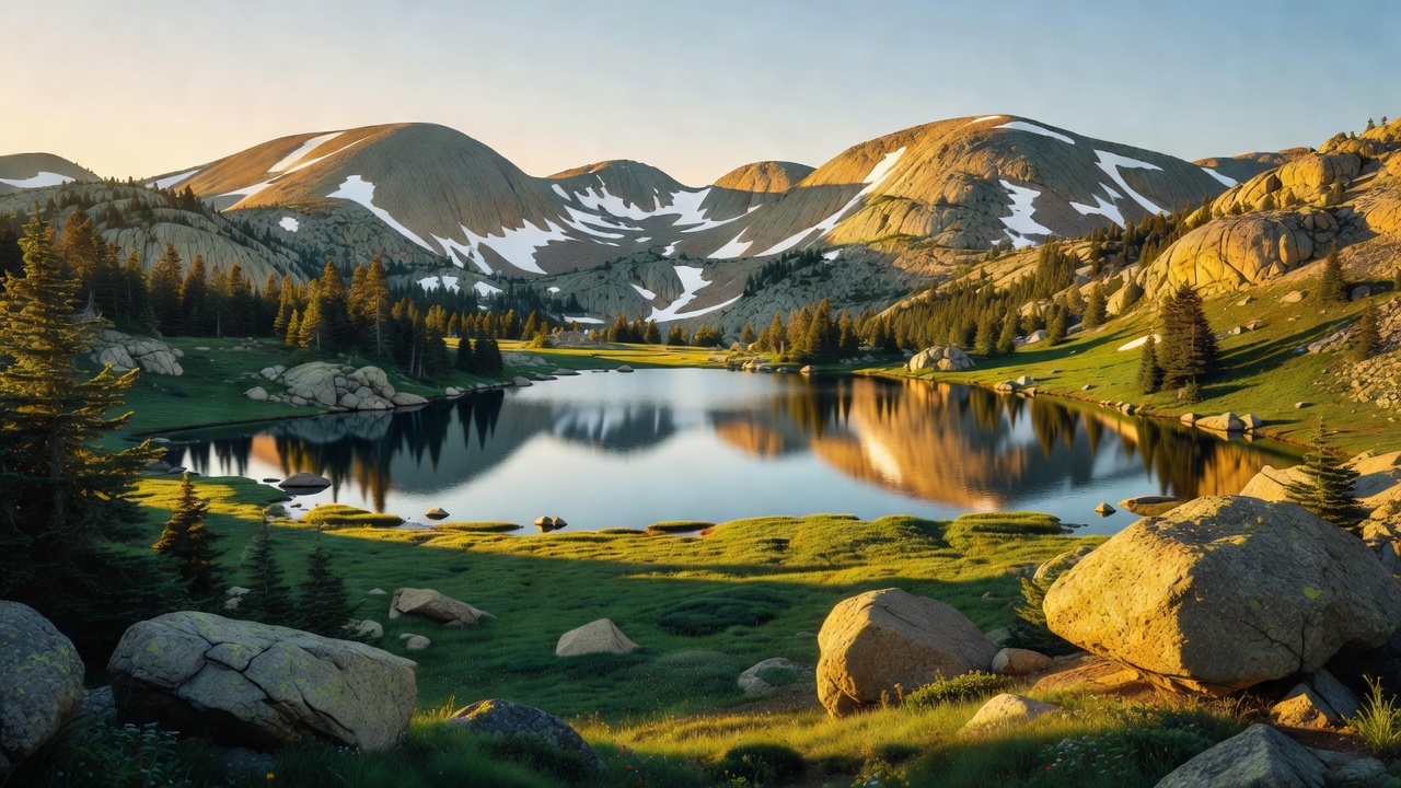
The Uinta-Wasatch-Cache is really two famous landscapes in one. In the Uintas, the numbers do the talking: this is the highest range in the contiguous United States that runs east to west, and Kings Peak -- at 13,528 feet the highest point in all of Utah -- rises within the High Uintas Wilderness, a 456,705-acre expanse the forest shares with the neighboring Ashley National Forest. The Uinta high country holds roughly 500 small lakes in old glacial basins yet, remarkably, no modern glaciers at all, and the scenic Mirror Lake Highway threads through the western half of the range. These mountains are also a water tower for the region, giving rise to the Bear, Weber and Provo rivers. Over on the Wasatch side, the forest wraps around Salt Lake City itself -- Mount Olympus, Lone Peak, the Twin Peaks and Mount Timpanogos loom over the valley -- and the Cottonwood Canyons east of the city are home to the ski areas that made Utah's snow famous, marketed the world over as 'the Greatest Snow on Earth.' All told the forest protects a string of wilderness areas, among them High Uintas, Lone Peak, Mount Olympus, Twin Peaks, Deseret Peak, Mount Naomi and Wellsville Mountain.
Camps are sourced from public U.S. Forest Service recreation data and have not been personally visited. Roads shown are Forest Service passenger-car routes (maintenance level 3–5) and may be seasonal or gated. Always confirm access, fees and fire rules with the ranger district before you go. Found a fee where we show free? Tell us on the contact page.